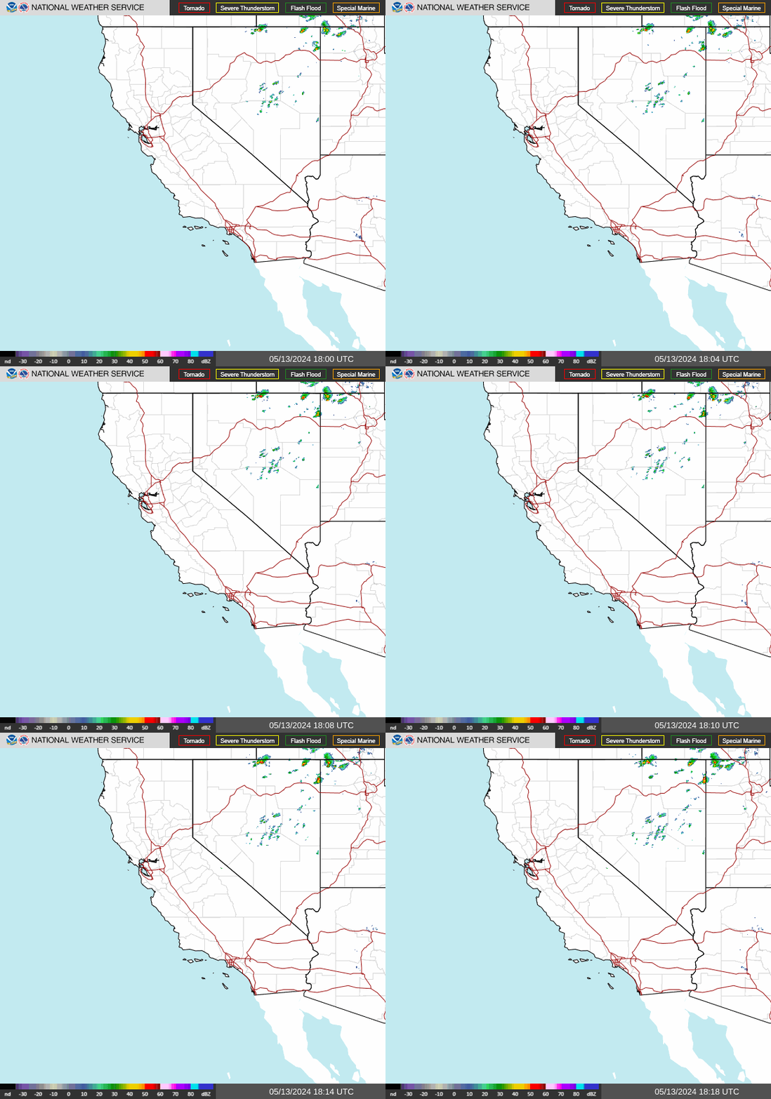
NWS Weather Forecast - Outlook: This Afternoon & Tonight
This Afternoon Showers And T-Storms Likely
Hi 67 °F
NWS forecast: Showers and thunderstorms likely. Partly sunny, with a high near 67. Southwest wind 5 to 10 mph. Chance of precipitation is 60%. New rainfall amounts less than a tenth of an inch possible. Davis VP+ forecast:Increasing clouds with little temperature change.
Tonight
Slight Chance Rain Showers then Partly Cloudy
Lo 54 °F
NWS forecast: A slight chance of rain showers before 11pm. Partly cloudy, with a low around 54. East wind around 5 mph. Chance of precipitation is 20%. New rainfall amounts less than a tenth of an inch possible.
A moderate storm is expected to impact Southern California Wednesday through Thursday. Rainfall totals are expected to generally range from 0.5 to 1.5 inches except 1.5 to 3 inches across south facing mountains/foothills. Minor flooding and debris flows are possible especially near recent burn scars. Peak timing for most locations will fall into the late Wednesday morning through late Thursday morning timeframe. Isolated to scattered thunderstorms are possible bringing potential hazards such as cloud-to-ground lightning, heavy downpours, gusty winds, small hail, and even isolated waterspouts.