Coastal Flood Advisory COASTAL FLOOD ADVISORY - Camarillo
High Surf Advisory HIGH SURF ADVISORY - Camarillo
Beach Hazards Statement BEACH HAZARDS STATEMENT - Camarillo

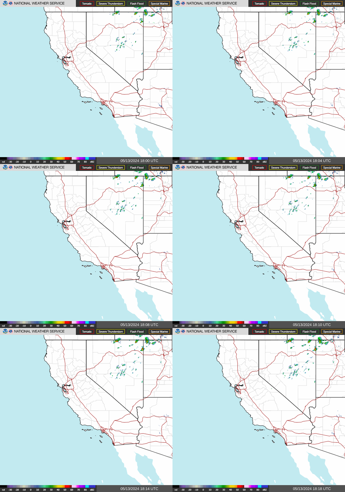
NWS Southwest Regional Radar WU South West Satellite
Radar/Satellite images courtesy of NOAA/NWS and Weather Underground.
spacer
Updated: @ 28-Jul-2026 7:24am - next update at 7:26am  
Summary / Temperature Wind Rain Outlook
Clear Clear
Currently: 62.7, Max: 67.1, Min: 60.8 62.7°F
Warmer 0.1°F than last hour.

Comfortable

Feels like: 63°F

24-hr difference
-2.4°FColder 2.4°F than yesterday at this time.
  Today Yesterday
High: 67.1°F
12:00am
85.4°F
3:07pm
Low: 60.8°F
6:24am
63.7°F
5:05am
 Calm -
0
Gust:
0 mph
0 Bft - Calm
Today: 3 mph 3:49am
Gust Month: 19 mph July 16
Rain Today: 0 in
Rain Rate (/hr): 0 in
Rain Yesterday: 0 in
This Month: 0 in
Season Total: 6.77 in
98 days since last rain.
Tonight

Tonight: Mostly Clear
Mostly Clear
Humidity & Barometer Almanac Moon
Humidity: 87 %  
Dew Point: 58.8°F Increased 1.8°F since last hour.
Barometer: 29.9 inHg Rising 0.01  inHg/hr
Baro Trend: Rising slowly
Sunrise: 6:03am
Sunset: 8:02pm
Moonset: 5:00am
Moonrise: 7:49pm
Full Moon
Full Moon, Moon at 13 days in cycle
99%
Illuminated
UV Index Forecast UV Index Forecast
28-Jul-2026
10.2     Very High 
29-Jul-2026
9.3     Very High 
 NWS Weather Forecast  - Outlook: Today & Tonight
Today

Today: Sunny
Sunny

Hi 82 °F
NWS forecast: Sunny, with a high near 82. West northwest wind 5 to 10 mph.
Davis VP+ forecast: Increasing clouds with little temperature change.
 
Tonight

Tonight: Mostly Clear
Mostly Clear

Lo 63 °F
NWS forecast: Mostly clear, with a low around 63. South southeast wind 0 to 10 mph.
Animated icons courtesy of www.meteotreviglio.com.
Countdown to Fall
 Autumn Equinox begins September 22nd at 5:05pm   PDT  


WEATHER STORY
San Juan
Weather Forecast Office
Weather Story Rip Currents | Corrientes Marinas Weekly Outlook: Rain, Heat & Rough Seas Ahead Radar
Valid: Monday, July 27 – Friday, July 31, 2026 - A wetter weather pattern will bring the greatest potential for heavy showers, thunderstorms, and localized flooding on Monday and Tuesday across Puerto Rico and the U.S. Virgin Islands. As rainfall decreases later in the week, heat impacts will become the primary concern, reaching elevated to significant levels through midweek. Meanwhile, easterly winds will strengthen from Tuesday through Friday, leading to deteriorating marine conditions and an expanding moderate rip current risk. Periods of Saharan dust will also contribute to hazy skies. Residents and visitors should continue monitoring the forecast, as conditions may change during the week. | Válido: Lunes, 27 de julio – Viernes, 31 de julio de 2026 - Un patrón más húmedo traerá el mayor potencial de aguaceros fuertes, tormentas eléctricas e inundaciones localizadas durante el lunes y martes en Puerto Rico y las Islas Vírgenes Estadounidenses. A medida que disminuya la lluvia durante el resto de la semana, el calor se convertirá en la principal preocupación, con niveles elevados a significativos hasta mediados de semana. Además, los vientos del este aumentarán entre el martes y el viernes, deteriorando las condiciones marítimas y expandiendo el riesgo moderado de corrientes marinas. También se esperan períodos de polvo del Sahara que producirán cielos brumosos. Se recomienda mantenerse informado, ya que las condiciones pronosticadas pueden cambiar durante la semana.

Data Courtesy of San Juan Weather Forecast Office

San Juan, PR Lake Charles, LA Pueblo, CO Corpus Christi, TX St. Louis, MO Reno, NV Raleigh, NC  Newport/Morehead City, NC Dodge City, KS Houston/Galveston, TX San Joaquin Valley/Hanford, CA Louisville, KY Fort Worth, TX Pittsburgh, PA Austin/San Antonio, TX Sacramento, CA Jackson, MS Phoenix, AZ Northern Indiana, IN Flagstaff, AZ Tallahassee, FL Springfield, MO Riverton, WY Blacksburg, VA Sioux Falls, SD El Paso Area, NM Columbia, SC Wilmington, NC Greenville-Spartanburg, SC Eureka, CA Midland/Odessa, TX Tucson, AZ Goodland, KS Huntsville, AL Amarillo, TX Norman, OK Lubbock, TX Marquette, MI Little Rock, AR Pendleton, OR Missoula, MT Binghamton, NY Boston, MA Green Bay, WI Billings, MT Baltimore/Washington San Diego, CA Tampa Bay, FL Morristown, TN Twin Cities, MN Brownsville, TX Portland, OR Des Moines, IA Memphis, TN Pocatello, ID San Angelo, TX Jacksonville, FL Aberdeen, SD Quad Cities, IA/IL Charleston, SC New Orleans/Baton Rouge, LA Peachtree City, GA Shreveport, LA Grand Rapids, MI Medford, OR Albany, NY Wichita, KS Gray/Portland, ME Spokane, WA Boise, ID Denver/Boulder, CO Great Falls, MT Caribou, ME Key West, FL Miami-South Florida, FL New York City/Upton, NY Melbourne, FL Hastings, NE Paducah, KY Glasgow, MT Bismarck, ND Charleston WV Omaha/Valley, NE Buffalo, NY Jackson, KY Kansas City/Pleasant Hill, MO Gaylord, MI Cheyenne, WY Grand Forks, ND Detroit/Pontiac, MI Central Illinois, IL Burlington, VT Salt Lake City, UT Topeka, KS Nashville, TN Milwaukee/Sullivan, WI Albuquerque, NM Las Vegas, NV Wakefield, VA La Crosse, WI Birmingham, AL Los Angeles/Oxnard, CA Chicago, IL Seattle, WA Rapid City, SD Indianapolis, IN Philadelphia/Mount Holly, PA Mobile/Pensacola State College, PA Cleveland, OH Elko, NV Wilmington, OH Grand Junction, CO North Platte, NE Tulsa, OK San Francisco/Monterey Bay Area, CA Duluth, MN