Extreme Heat Warning EXTREME HEAT WARNING - Camarillo
Red Flag Warning RED FLAG WARNING - Camarillo
Beach Hazards Statement BEACH HAZARDS STATEMENT - Camarillo
Air Quality Alert AIR QUALITY ALERT - Camarillo

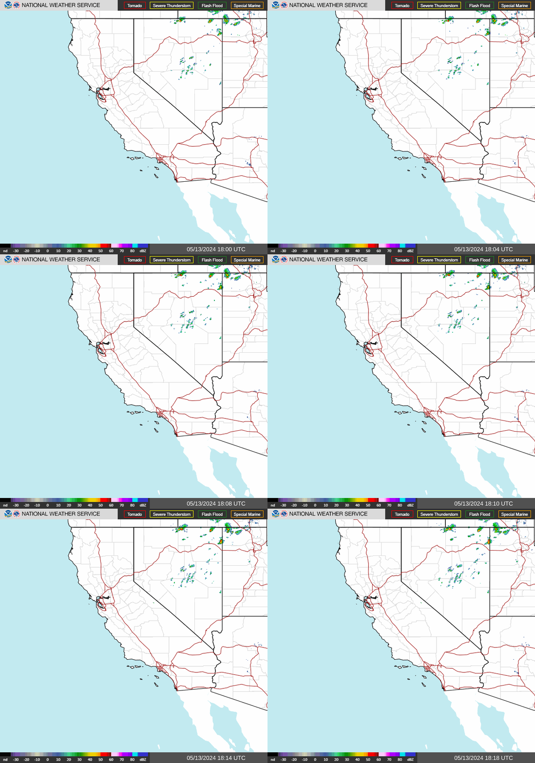
NWS Southwest Regional Radar WU South West Satellite
Radar/Satellite images courtesy of NOAA/NWS and Weather Underground.
spacer
Updated: @ 26-Aug-2026 7:12am - next update at 7:14am  
Summary / Temperature Wind Rain Outlook
Clear Clear
Currently: 65.4, Max: 71.1, Min: 65.3 65.4°F
Colder 0.8°F than last hour.

Comfortable

Feels like: 65°F

24-hr difference
1°FWarmer 1.0°F than yesterday at this time.
  Today Yesterday
High: 71.1°F
12:00am
92°F
3:40pm
Low: 65.3°F
6:57am
64.1°F
6:45am
 Wind from - -
0
Gust:
2 mph
0 Bft - Calm
Today: 6 mph 3:19am
Gust Month: 17 mph August 12
Rain Today: 0 in
Rain Rate (/hr): 0 in
Rain Yesterday: 0 in
This Month: 0 in
Season Total: 6.77 in
127 days since last rain.
Tonight

Tonight: Mostly Cloudy
Mostly Cloudy
Humidity & Barometer Almanac Moon
Humidity: 83 % Increased 2.0% since last hour.
Dew Point: 60.1°F Decreased 0.2°F since last hour.
Barometer: 29.89 inHg Rising 0.01  inHg/hr
Baro Trend: Rising slowly
Sunrise: 6:24am
Sunset: 7:31pm
Moonset: 4:51am
Moonrise: 6:53pm
Waxing Gibbous
Waxing Gibbous, Moon at 13 days in cycle
97%
Illuminated
UV Index Forecast UV Index Forecast
26-Aug-2026
9.5     Very High 
27-Aug-2026
9.0     Very High 
 NWS Weather Forecast  - Outlook: Today & Tonight
Today

Today: Sunny
Sunny

Hi 93 °F
NWS forecast: Sunny, with a high near 93. West northwest wind 5 to 10 mph.
Davis VP+ forecast: Increasing clouds with little temperature change.
 
Tonight

Tonight: Mostly Cloudy
Mostly Cloudy

Lo 69 °F
NWS forecast: Mostly cloudy, with a low around 69. Northwest wind 0 to 10 mph.
Animated icons courtesy of www.meteotreviglio.com.
Countdown to Fall
 Autumn Equinox begins September 22nd at 5:05pm   PDT  


WEATHER STORY
Duluth
Weather Forecast Office
Weather Outlook through Saturday Seeking Your Storm Reports! Int. Falls Paid Snow Observer Needed
Did you know that the record of official snowfall observations in International Falls goes back to the early 1900s NWS Duluth is looking for someone who is interested in helping continue that record as a paid snowfall observer this winter! This is a unique opportunity as there are only a handful of paid observers in the country, put in place to guarantee the continuity of the data record. This paid observer can be anyone in International Falls. Payment is a base pay of $125 a month, plus $4 for every observation submitted for the period from October 1 to April 30. A 6am morning observation is required every day, and 6 hourly observations are needed if there is new snowfall. Contact NWS Duluth at nws.duluth@noaa.gov or the Observation Program Leader Steve Gohde at steve.gohde@noaa.gov if you are interested. Additional information: The NWS in Duluth will provide the observer with all needed equipment including a standard 8 inch rain gauge, measuring sticks, and snowboards. If there is no new snowfall, the only observation needed is one at 6am, to report zero precipitation/snowfall and current snow depth (the depth of snowpack currently on the ground). If there is new snow, a 6 hourly observation is needed, including precipitation (the melted down liquid water equivalent of any snow/sleet/freezing rain that has fallen), snowfall (new amount of snow that has fallen since the last observation), and snow depth. Once a week on Monday, observers can provide a snow water equivalent (SWE) report, which is a measurement of the amount of liquid water contained within the snowpack on the ground. Training will be provided from NWS Duluth. Each observation, including online entry, generally takes about 5-15 minutes. All observations are submitted via an online platform. If additional observations are needed into May, the observer will still be paid for individual observations, but no monthly base pay is available. Ideally, the observer has a relatively open, undisturbed area where observations can be taken and a rain gauge can be installed.

Data Courtesy of Duluth Weather Forecast Office

San Juan, PR Lake Charles, LA Pueblo, CO Corpus Christi, TX St. Louis, MO Reno, NV Raleigh, NC  Newport/Morehead City, NC Dodge City, KS Houston/Galveston, TX San Joaquin Valley/Hanford, CA Louisville, KY Fort Worth, TX Pittsburgh, PA Austin/San Antonio, TX Sacramento, CA Jackson, MS Phoenix, AZ Northern Indiana, IN Flagstaff, AZ Tallahassee, FL Springfield, MO Riverton, WY Blacksburg, VA Sioux Falls, SD El Paso Area, NM Columbia, SC Wilmington, NC Greenville-Spartanburg, SC Eureka, CA Midland/Odessa, TX Tucson, AZ Goodland, KS Huntsville, AL Amarillo, TX Norman, OK Lubbock, TX Marquette, MI Little Rock, AR Pendleton, OR Missoula, MT Binghamton, NY Boston, MA Green Bay, WI Billings, MT Baltimore/Washington San Diego, CA Tampa Bay, FL Morristown, TN Twin Cities, MN Brownsville, TX Portland, OR Des Moines, IA Memphis, TN Pocatello, ID San Angelo, TX Jacksonville, FL Aberdeen, SD Quad Cities, IA/IL Charleston, SC New Orleans/Baton Rouge, LA Peachtree City, GA Shreveport, LA Grand Rapids, MI Medford, OR Albany, NY Wichita, KS Gray/Portland, ME Spokane, WA Boise, ID Denver/Boulder, CO Great Falls, MT Caribou, ME Key West, FL Miami-South Florida, FL New York City/Upton, NY Melbourne, FL Hastings, NE Paducah, KY Glasgow, MT Bismarck, ND Charleston WV Omaha/Valley, NE Buffalo, NY Jackson, KY Kansas City/Pleasant Hill, MO Gaylord, MI Cheyenne, WY Grand Forks, ND Detroit/Pontiac, MI Central Illinois, IL Burlington, VT Salt Lake City, UT Topeka, KS Nashville, TN Milwaukee/Sullivan, WI Albuquerque, NM Las Vegas, NV Wakefield, VA La Crosse, WI Birmingham, AL Los Angeles/Oxnard, CA Chicago, IL Seattle, WA Rapid City, SD Indianapolis, IN Philadelphia/Mount Holly, PA Mobile/Pensacola State College, PA Cleveland, OH Elko, NV Wilmington, OH Grand Junction, CO North Platte, NE Tulsa, OK San Francisco/Monterey Bay Area, CA Duluth, MN