Coastal Flood Advisory COASTAL FLOOD ADVISORY - Camarillo
High Surf Advisory HIGH SURF ADVISORY - Camarillo

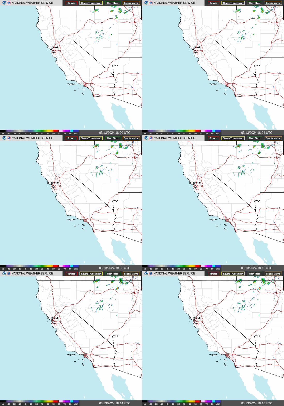
NWS Southwest Regional Radar WU South West Satellite
Radar/Satellite images courtesy of NOAA/NWS and Weather Underground.
spacer
Updated: @ 09-Nov-2026 1:58pm - next update at 2:00pm  
Summary / Temperature Wind Rain Outlook
Clear Clear
Currently: 85.6, Max: 89.0, Min: 58.4 85.6°F
Colder 1.0°F than last hour.

Warm

Feels like: 84°F

24-hr difference
-1.2°FColder 1.2°F than yesterday at this time.
  Today Yesterday
High: 89°F
11:14am
91.8°F
12:42pm
Low: 58.4°F
1:12am
54.5°F
3:17am
 Wind from W W
4
Gust:
11 mph
1 Bft - Light air
Today: 12 mph 3:01am
Gust Month: 25 mph November 6
Rain Today: 0 in
Rain Rate (/hr): 0 in
Rain Yesterday: 0 in
This Month: 0.06 in
Season Total: 8.6 in
8 days since last rain.
Tonight

Tonight: Partly Cloudy
Partly Cloudy
Humidity & Barometer Almanac Moon
Humidity: 35 %  
Dew Point: 54.8°F Decreased 0.2°F since last hour.
Barometer: 29.99 inHg Falling 0.02  inHg/hr
Baro Trend: Falling
Sunrise: 6:22am
Sunset: 4:57pm
Moonrise: 6:56am
Moonset: 4:57pm
New Moon
New Moon, Moon at 1 days in cycle
0%
Illuminated
UV Index Forecast UV Index Forecast
09-Nov-2026
3.9     Medium 
10-Nov-2026
3.7     Medium 
 NWS Weather Forecast  - Outlook: This Afternoon & Tonight
This
Afternoon
This Afternoon: Mostly Sunny
Mostly Sunny

Hi 90 °F
NWS forecast: Mostly sunny, with a high near 90. West northwest wind around 5 mph.
Davis VP+ forecast: Increasing clouds and warmer. Precipitation possible within 12 to 24 hours. Windy.
 
Tonight

Tonight: Partly Cloudy
Partly Cloudy

Lo 61 °F
NWS forecast: Partly cloudy, with a low around 61. North northeast wind 5 to 10 mph.
Animated icons courtesy of www.meteotreviglio.com.
Countdown to Winter
 Winter Solstice begins December 21st at 12:50pm   PST  


WEATHER STORY
Brownsville
Weather Forecast Office
Flash Flood Potential Through Tonight Forecasted Additional Rainfall Amounts High Risk of Rip Currents Beachcast 5-Day Outlook
Additional showers and thunderstorm chances maintain a Marginal Risk (level 1 of 4) to Slight Risk (level 2 of 4) of excessive rainfall, leading to isolated to scattered flash flooding through tonight. Stay weather aware this weekend and visit weather.gov/bro for the latest.

Data Courtesy of Brownsville Weather Forecast Office

San Juan, PR Lake Charles, LA Pueblo, CO Corpus Christi, TX St. Louis, MO Reno, NV Raleigh, NC  Newport/Morehead City, NC Dodge City, KS Houston/Galveston, TX San Joaquin Valley/Hanford, CA Louisville, KY Fort Worth, TX Pittsburgh, PA Austin/San Antonio, TX Sacramento, CA Jackson, MS Phoenix, AZ Northern Indiana, IN Flagstaff, AZ Tallahassee, FL Springfield, MO Riverton, WY Blacksburg, VA Sioux Falls, SD El Paso Area, NM Columbia, SC Wilmington, NC Greenville-Spartanburg, SC Eureka, CA Midland/Odessa, TX Tucson, AZ Goodland, KS Huntsville, AL Amarillo, TX Norman, OK Lubbock, TX Marquette, MI Little Rock, AR Pendleton, OR Missoula, MT Binghamton, NY Boston, MA Green Bay, WI Billings, MT Baltimore/Washington San Diego, CA Tampa Bay, FL Morristown, TN Twin Cities, MN Brownsville, TX Portland, OR Des Moines, IA Memphis, TN Pocatello, ID San Angelo, TX Jacksonville, FL Aberdeen, SD Quad Cities, IA/IL Charleston, SC New Orleans/Baton Rouge, LA Peachtree City, GA Shreveport, LA Grand Rapids, MI Medford, OR Albany, NY Wichita, KS Gray/Portland, ME Spokane, WA Boise, ID Denver/Boulder, CO Great Falls, MT Caribou, ME Key West, FL Miami-South Florida, FL New York City/Upton, NY Melbourne, FL Hastings, NE Paducah, KY Glasgow, MT Bismarck, ND Charleston WV Omaha/Valley, NE Buffalo, NY Jackson, KY Kansas City/Pleasant Hill, MO Gaylord, MI Cheyenne, WY Grand Forks, ND Detroit/Pontiac, MI Central Illinois, IL Burlington, VT Salt Lake City, UT Topeka, KS Nashville, TN Milwaukee/Sullivan, WI Albuquerque, NM Las Vegas, NV Wakefield, VA La Crosse, WI Birmingham, AL Los Angeles/Oxnard, CA Chicago, IL Seattle, WA Rapid City, SD Indianapolis, IN Philadelphia/Mount Holly, PA Mobile/Pensacola State College, PA Cleveland, OH Elko, NV Wilmington, OH Grand Junction, CO North Platte, NE Tulsa, OK San Francisco/Monterey Bay Area, CA Duluth, MN